Hey pretty darling, don’t wait up for me,
Bruce Springsteen
Gonna be a long walk home
The stats
- Distance: 19 km
- Ascent: 717m
- Descent: 980m
- Time: 7 hours 14 minutes
- Party: Me, Ljiljana, Michelle, Petros, Louise, Gayna, Zoltan, Helen, Penny, Kin, Ursa, John, Lauren.
- Club: Sydney Bush Walkers
The story
The 1930’s were a time when bushwalking was popular in Sydney. A series of five “Mystery Hikes” in 1932 attracted crowds of up to 8,000 to catch a train and spend a day bushwalking. Train tickets were 2 shillings per person, and the Railway Department was actively promoting bushwalking as a way to generate interest (and revenue) in catching a train.
In 1930 the Railway Department planned an electricity transmission line across the Blue Mountains. Mr Ashcroft and Mr Bruce of the Department met with the local Council “to ascertain if the route proposed to be followed would in any way interfere with the scenery“. The Shire President, Cr. Percy Wilson, thought that “from what could be seen, he did not think that the 100 foot track would do any harm to the scenery; rather would it be of value because it would provide a track which could be used by tourists“. The Railway Commissioners saw an opportunity to create a walk from Blackheath to Lawson which, not coincidentally, were both villages that were serviced by railway stations.
The route as surveyed by Mr Bruce would become known as “Bruce’s Walk”.
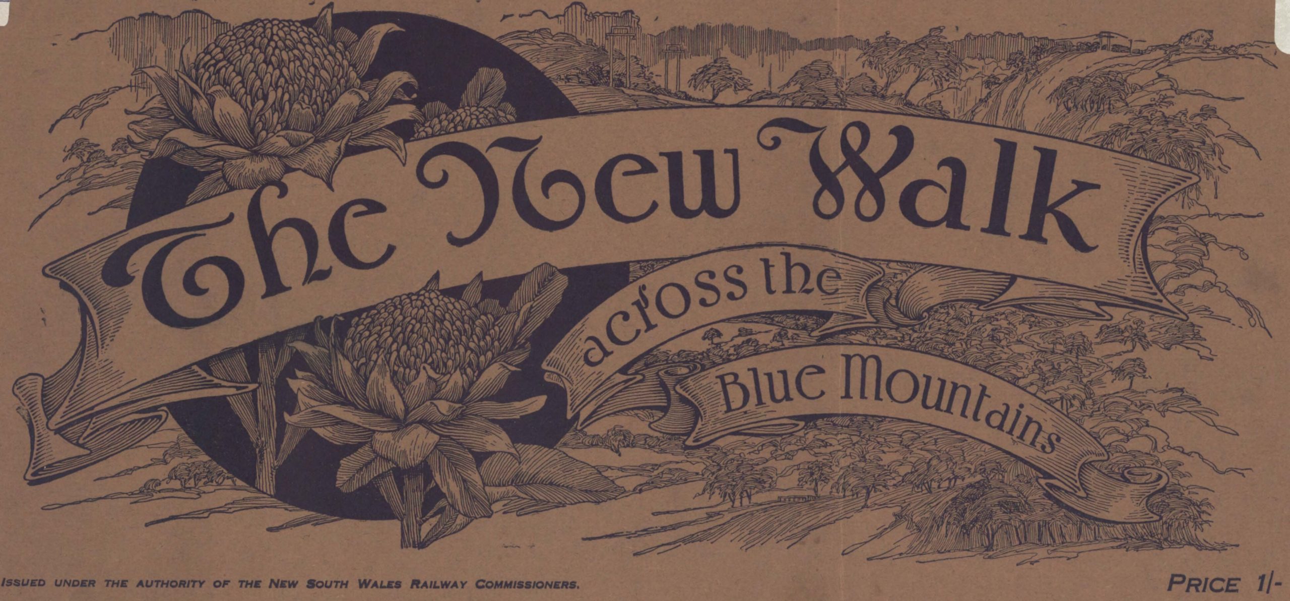
The walk was opened on 21 November 1931, and a brochure was published as a guide. If you are wondering where the names of some of the locations came from, the brochure points out that “at the insistence of the Blue Mountains Shire Council, the names of some of its Councillors…and officers of the Railway Department… have been associated with several outstanding beauty spots“.

The brochure included a map that shows the designated route. Note that the first part of the route, from Blackheath Station to Grand Canyon Road, is now within a water catchment area and it is illegal to walk this part of the route.

The walk may have been popular in the 1930’s, but by the 1980’s it was pretty much forgotten. In 1983 Dick Rushton, a local walker, created a guide to the track to generate some interest in it. In 1986 Jim Smith and Wilf Hilder, members of the Sydney Bush Walkers, cleared the track from Wentworth Falls to Bullaburra and rediscovered some of the original signs, shelters, seats and picnic tables which can still be seen today.
The walk
On 23 July 2023 I led a group of 13 members of the Sydney Bush Walkers on Bruce’s Walk from Grand Canyon Road, Medlow Bath to Lawson Station, a distance of approximately 19 km.
The first 1.8 km of the walk is on a fire trail that skirts the southern side of the Katoomba airfield before heading south then west into the national park. The track was recently graded and we made quick time. So quick that we walked past the small pile of rocks on the right hand side that marked the beginning of a faint footpad that is Bruce’s Walk.
The footpad descends 140m quite steeply and at times was a bit muddy but nothing too tricky. The vegetation changes from open forest to sedge grass to moist ferns as it approaches the first creek crossing, over Katoomba Creek. Rocks enable the crossing without getting wet shoes but they are very slippery.

A 140m climb follows the creek crossing, including a nice slot up through the cliff line marked with old bolts from the original track.
After crossing the Minnehaha Track there is an arrow pointing left to “Bruces Walk” on a pole next to the steep loose service track – ignore this, because the walk actually continues straight down under transmission line.
The walk descends again, this time for 100m. The landscape opens out at the base of the climb. The creek crossing presents us with a choice – wet feet or risky timber. The group divides – for some of us there is nothing to fear in wet footwear, whereas the less hardcore (myself included) went downstream 20m where there was a small logjam to cross on, although it started to give way beneath me as I crossed.
The walk meanders under the transmission lines through an open area, with another easy creek crossing before a short climb leads to the trail servicing the poles. To my eyes the 100 foot wide clearing is a scar on the landscape, but Cr Percy Wilson thought otherwise in 1930 (he may also have been thinking of the tourists and the trade they would bring).

At the top of the hill we turn left on Mount Hay Road, avoiding a ute that is barrelling to the west. We follow the dirt road for 150m before taking the next fire trail on the right, shown on the map as the Mount Hay Powerline Access. After 500m we reach a fork and take the trail to the right. The sun is shining and the grassy track is a good place for morning tea. Packs down!
….
Packs up, and off again. Another descent. A “feature” of Bruce’s Walk is that most descents are quickly followed by anther climb, followed by another descent. This time we descend 150m to Wentworth Creek, and another relatively easy crossing.

The walk climbs a spur south of the transmission line. At the top we pass bee hive boxes on the left of the track and then the first houses on the outskirts of Wentworth Falls.
The next 3.5 km is on suburban streets. It’s a part of Wentworth Falls most of us have not seen before, past the golf course and the mix of old and new housing.
On leaving suburbia we follow a fire trail along a spur with lovely open forest. Stomachs are rumbling and we look for a clearing to stop for lunch. It comes when we rejoin the transmission line at the eastern end of the spur. The sunshine is welcome and soporific on the coolish day.

After lunch we descend 130m on a footpad. Unstoppable Lauren spots an overhang to the left as we near Blue Mountain Creek. Further investigation reveals a 1930’s picnic spot marked as “Shelter Cave”.

After crossing Blue Mountain Creek the walk takes a surprising diversion, following downstream parallel to the southern bank of the creek for 200m. Then another climb – this time it’s 140m through some nice rock lines and bushland.
At this point it’s worth comparing the illustrations in the 1931 brochure with the landscape as it appears today. The valley is called “Burgess Gully” in the 1931 brochure, but I don’t know if it is named after a Councillor or someone in the Railway Department.


The walk continues along Skarratts Track to the outskirts of Bullaburra. Three of the party leave here to catch the train from Bullaburra Station.
We now follow a fire trail called Kent Street to the northeast for 900m. As we pass under a major transmission line there are nice views over the national park.

A feature of Bruce’s Walk are the ladders. Some are metal, some are wooden, all feel as though they may collapse or detach from the rock face at any moment.


At the end of Kent Street is a sign saying “Private Property. Walkers Welcome”. How nice is that?!
We descend to Dante Glen then climb to a service trail. The slope to our right is covered in a beautiful display of wattle blooms, glowing in the late afternoon sun.
There are a series of picturesque waterfalls nearby (Dantes Glen Falls, St Michaels Falls and Fairy Falls), and Lauren can’t resist checking them out. The rest of us head up to Lawson Station, and the end of the walk.
The roundup
Bruce’s Walk is a solid day of ups and downs. It’s pleasant walking through a variety of landscapes with some good views. I particularly enjoyed the creek crossings.
What makes it different from other walks is the history. All along the walk are remnants of the 1930’s, be it handrails, ladders, seats, signs, bolts or steps carved in the stone – a reminder of earlier times.
