Lake Mackenzie was calm and somewhat brooding in the morning. The sun rose slowly, and the shadows slipped down the side of the mountains opposite the hut.

As the track leaves the Lake Mackenzie Hut it enters the forest that includes ancient beech trees, hundreds of years old.
The track rises slowly and traverses along the side of the Elisa Mountains. At times there are views across the Hollyford River Valley, particularly where a landslide has taken out some of the forest.

After about an hour of walking, the track reaches an area known as “The Orchard“. There is sign posting to mark the area. There is no orchard there now, but the area is relatively flat and open – I’m not sure if it was ever used as an orchard.

The track continues for another 30 minutes, and the Earland Falls become visible. These falls are over 170 m in height and were flowing well when I passed underneath them. The Earland Falls originate from Lake Roberts, which is situated above the track but is not visible.

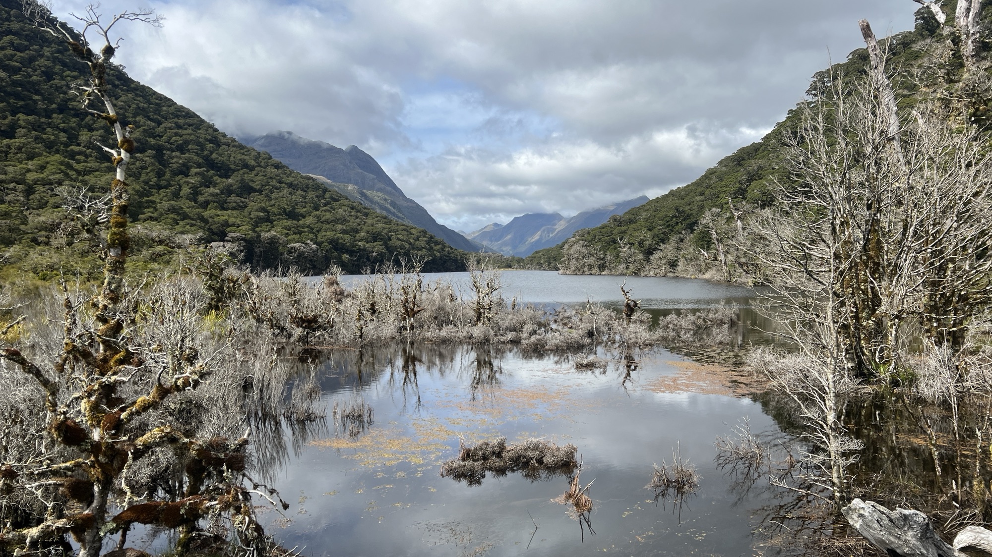
For the next hour, the track descends gently until it reaches Lake Howden. There used to be a hut next to the lake, but it was destroyed by a landslide a few years earlier. There are picnic tables which I took advantage of to have my lunch, whilst the sandflies lunched on me.

I left Lake Howden and shortly afterwards took a side trip up to Key Summit. I was now getting close to the end of the Routeburn Track, and there were many daytrippers on the track. As I climbed Key Summit I was engulfed by commercial tour groups, in much the same way as the sandflies had engulfed me at Lake Howden. There are great views from the top of Key Summit and I recommend walkers taking the side trip.

Less than an hour later I was at the end of the track. It took a while before Phil, Andy and I were able to regroup and have the obligatory photos taken in front of the track sign.

