Blinded by the light,
Bruce Springsteen.
swept up by a (mumble mumble mumble)…
I left my pack at the campsite and took a day pack. I was going to walk to the Lightstation and then return to the Halfway Hut.
After breakfast, I took a day pack and started walking. The first part of the walk is a climb for 1.6 km up Martin’s Hill. I then turned to the right onto a walking track, which I followed for 3.2 km to the Roaring Meg campsite.
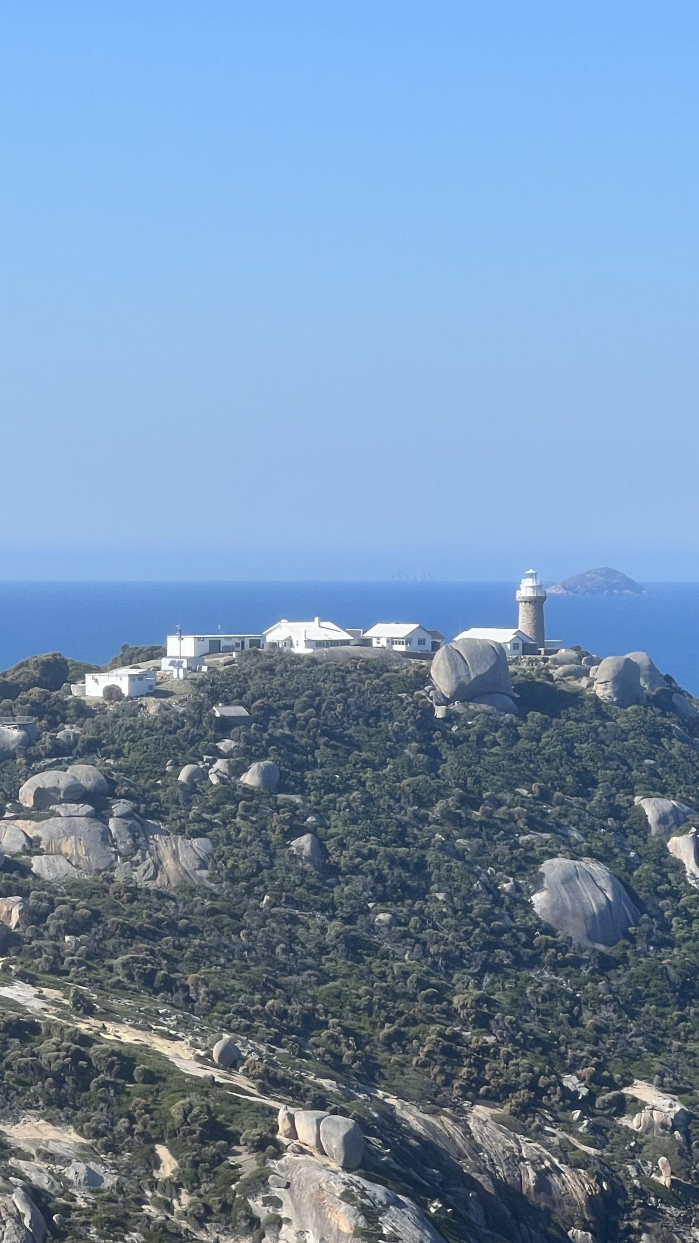
From here, the track is quite undulating as it heads eastwards for 6.1 km towards the Lightstation. The closer you get to the Lightstation, the better the views.

The Lightstation is a group of buildings, including a lighthouse, various out buildings and accommodation, a small museum, and the remains of a loading wharf.

The lighthouse began operation in 1853, and has a long history. The small museum and the grounds around the lighthouse have a lot of interesting informative signage and artefacts. It’s also a nice place to sit in the sun and have lunch.

After lunch, I walked back to the campsite, this time, using the fire trails rather than the walking tracks, just for a bit of variety.
I packed my tent and walked for 1 1/2 hours to Oberon Bay, where I stayed for the night.

